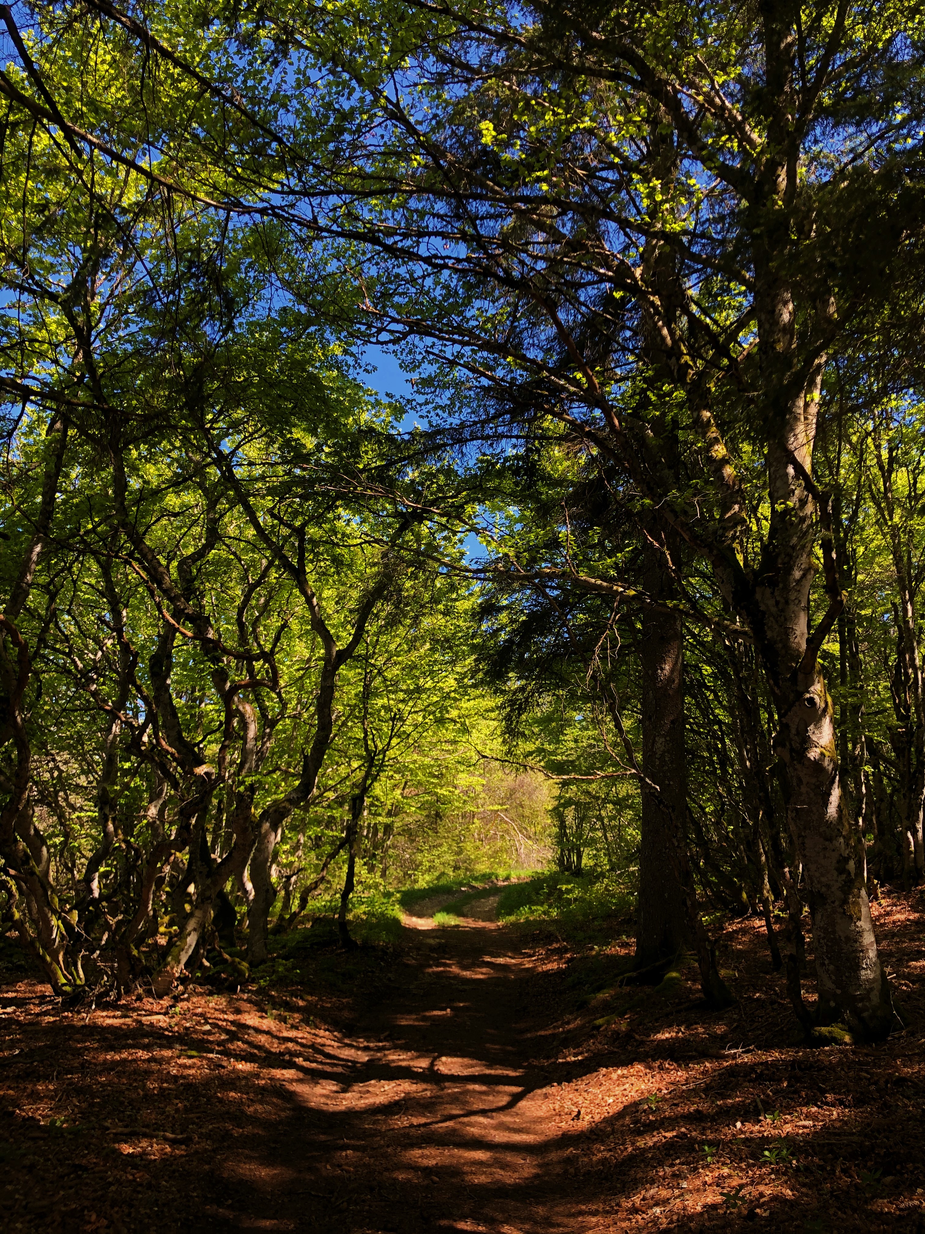
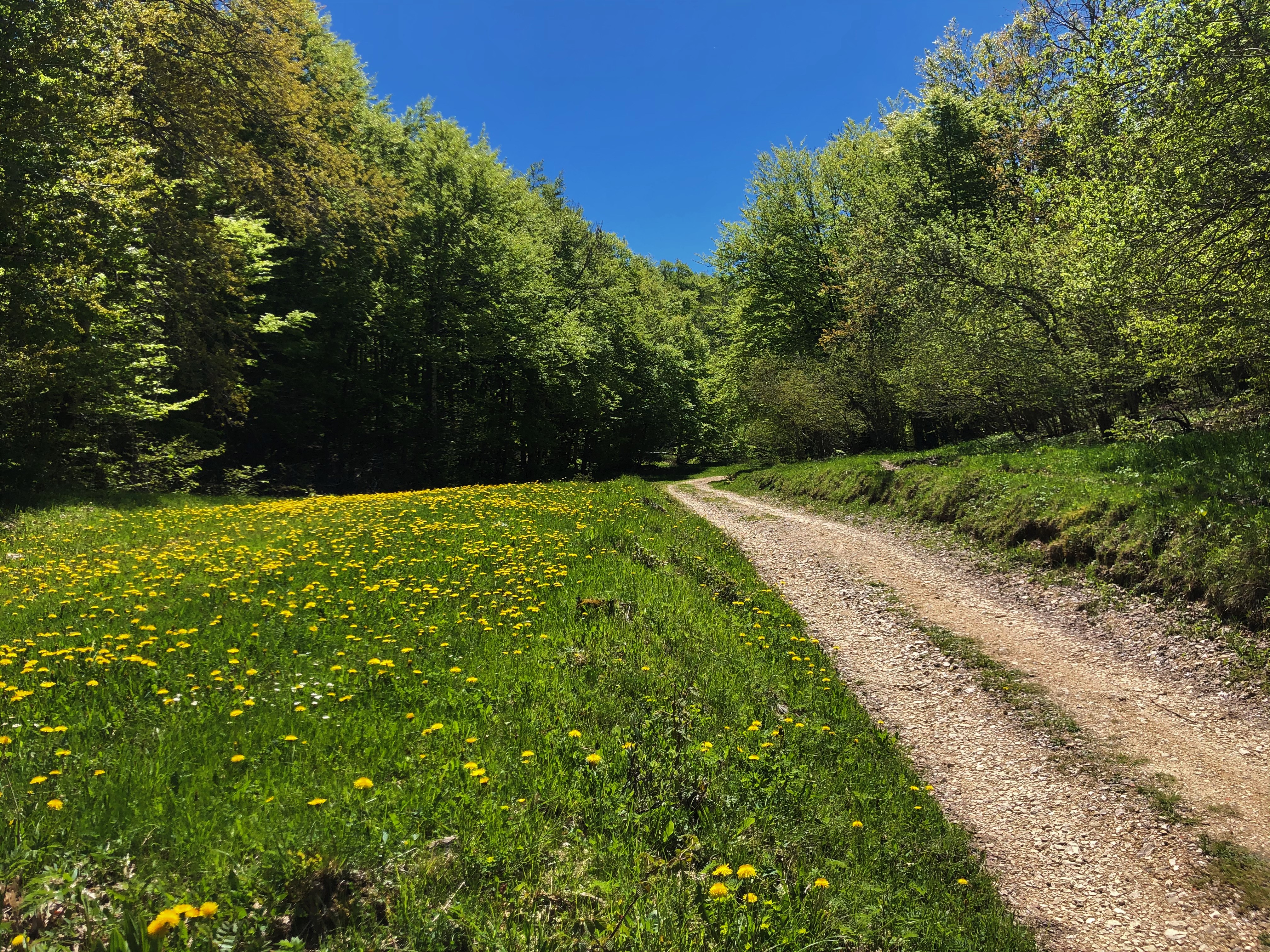
Randonnée pédestre
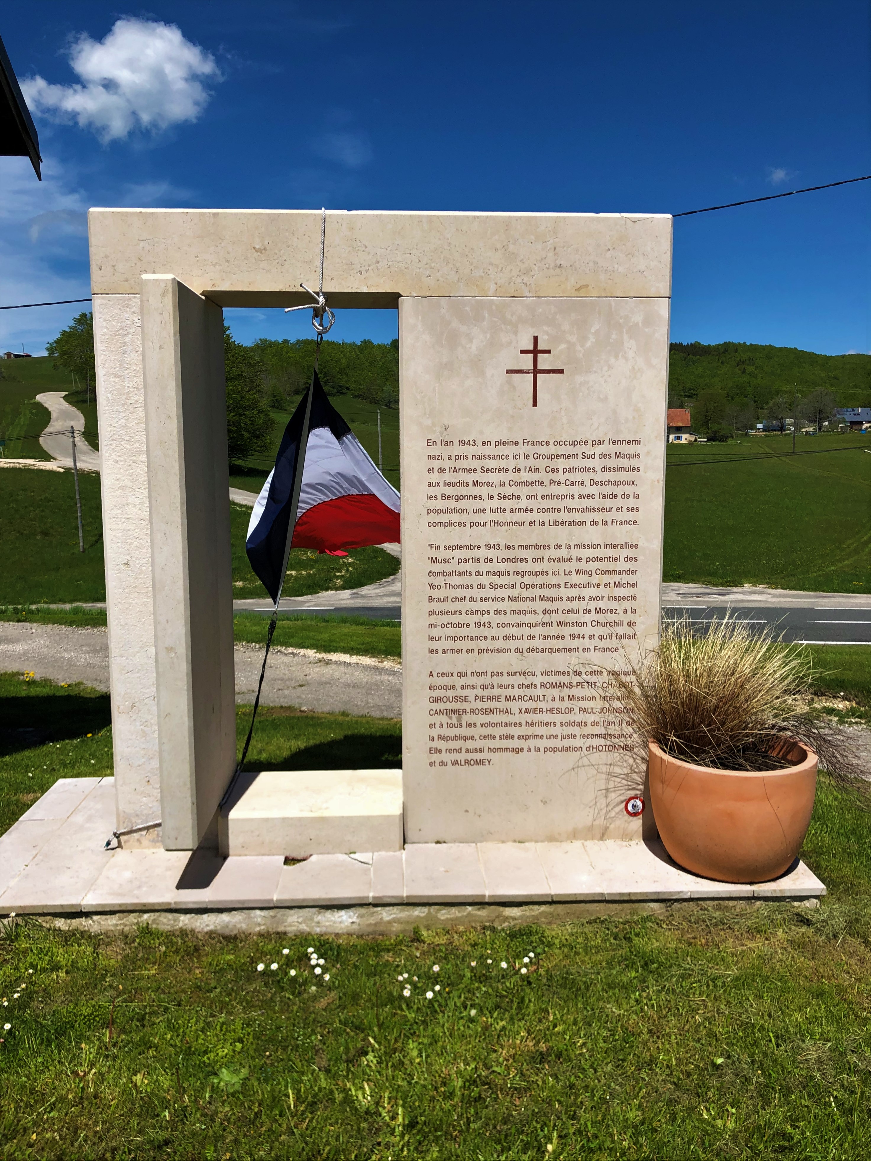
Hike: on the steps of the WW2 French resistance.
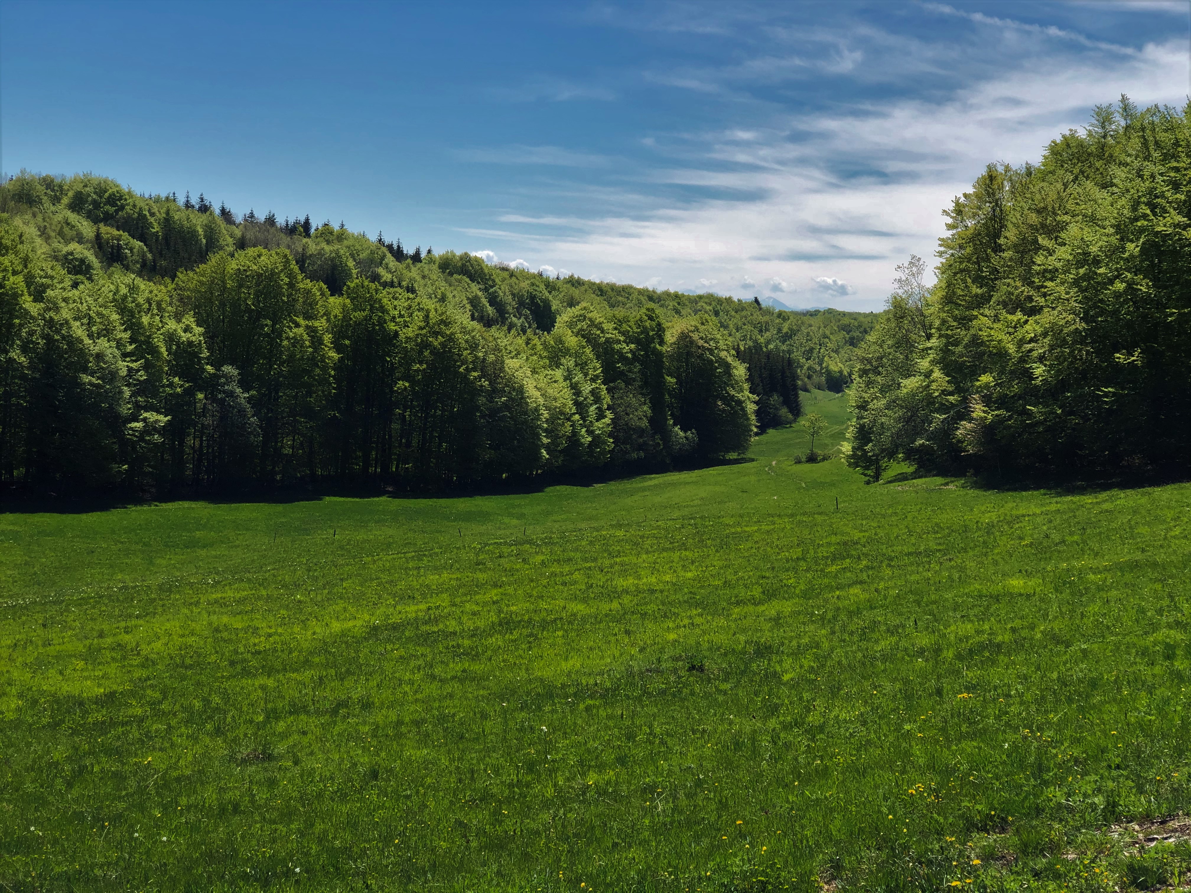
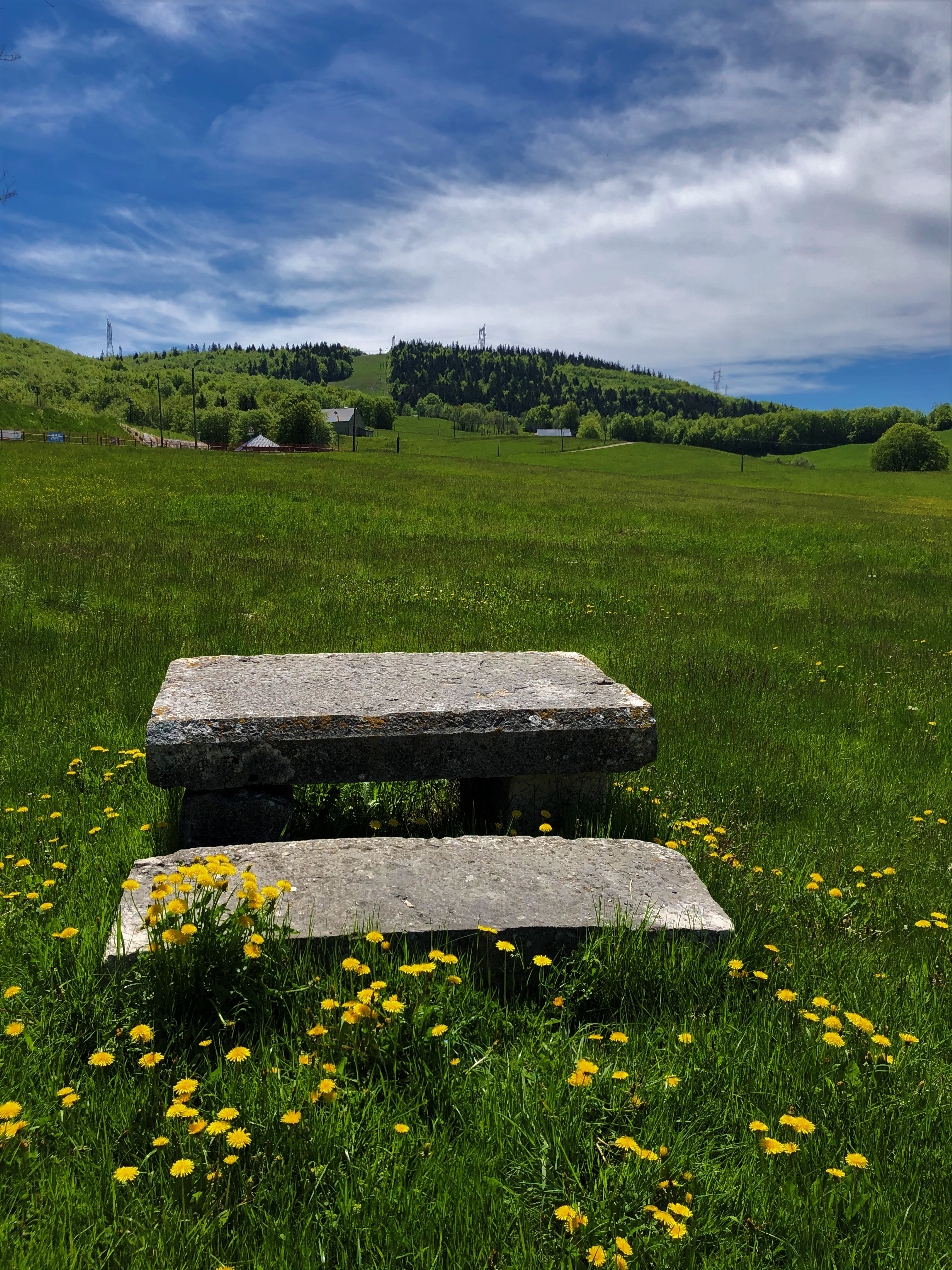
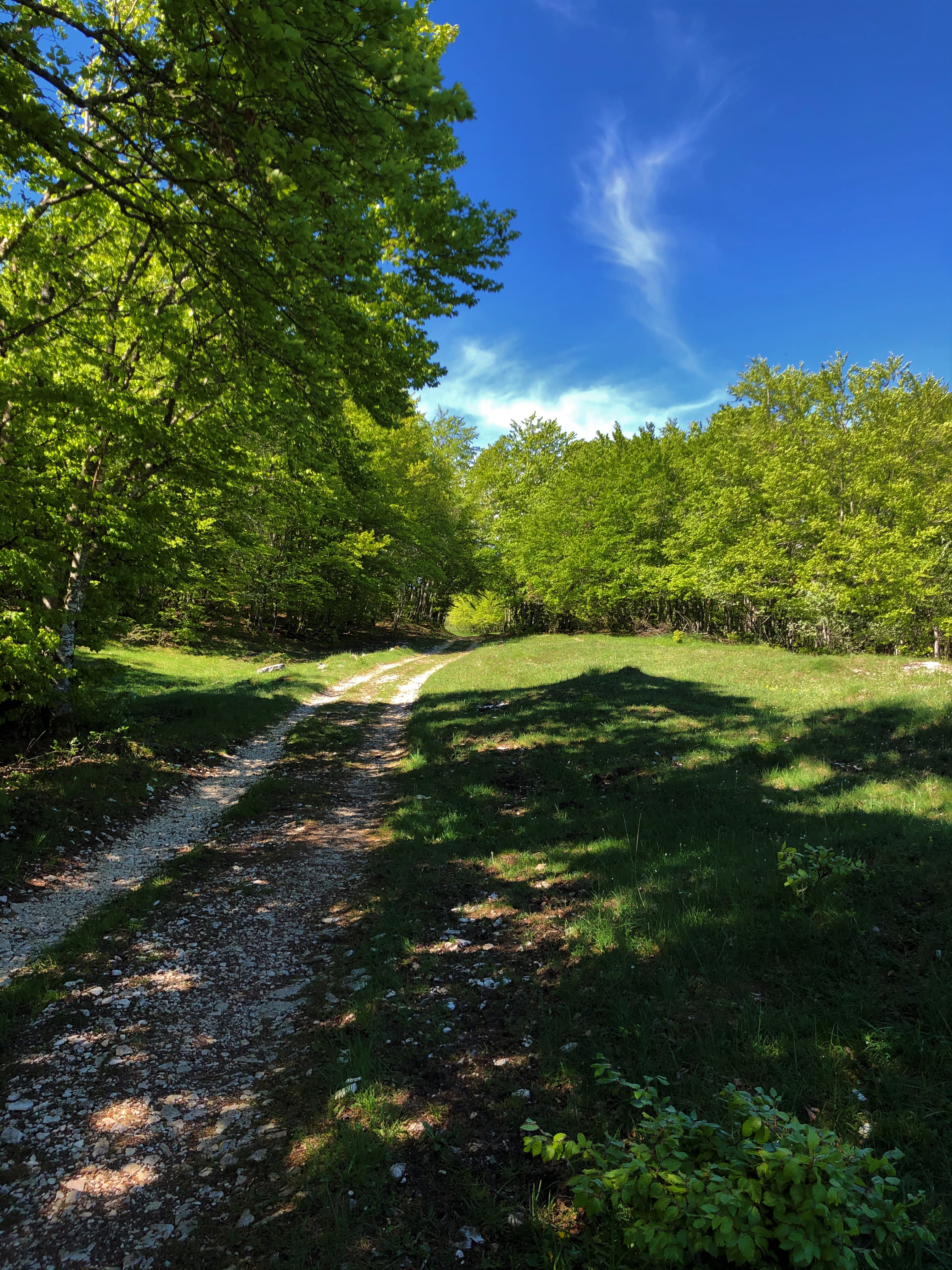
Haut Valromey
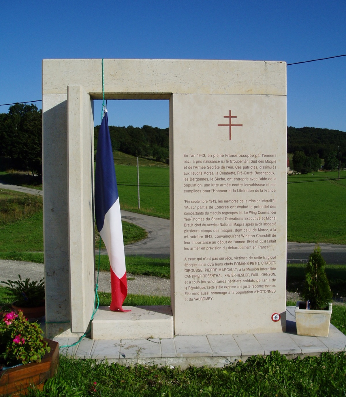
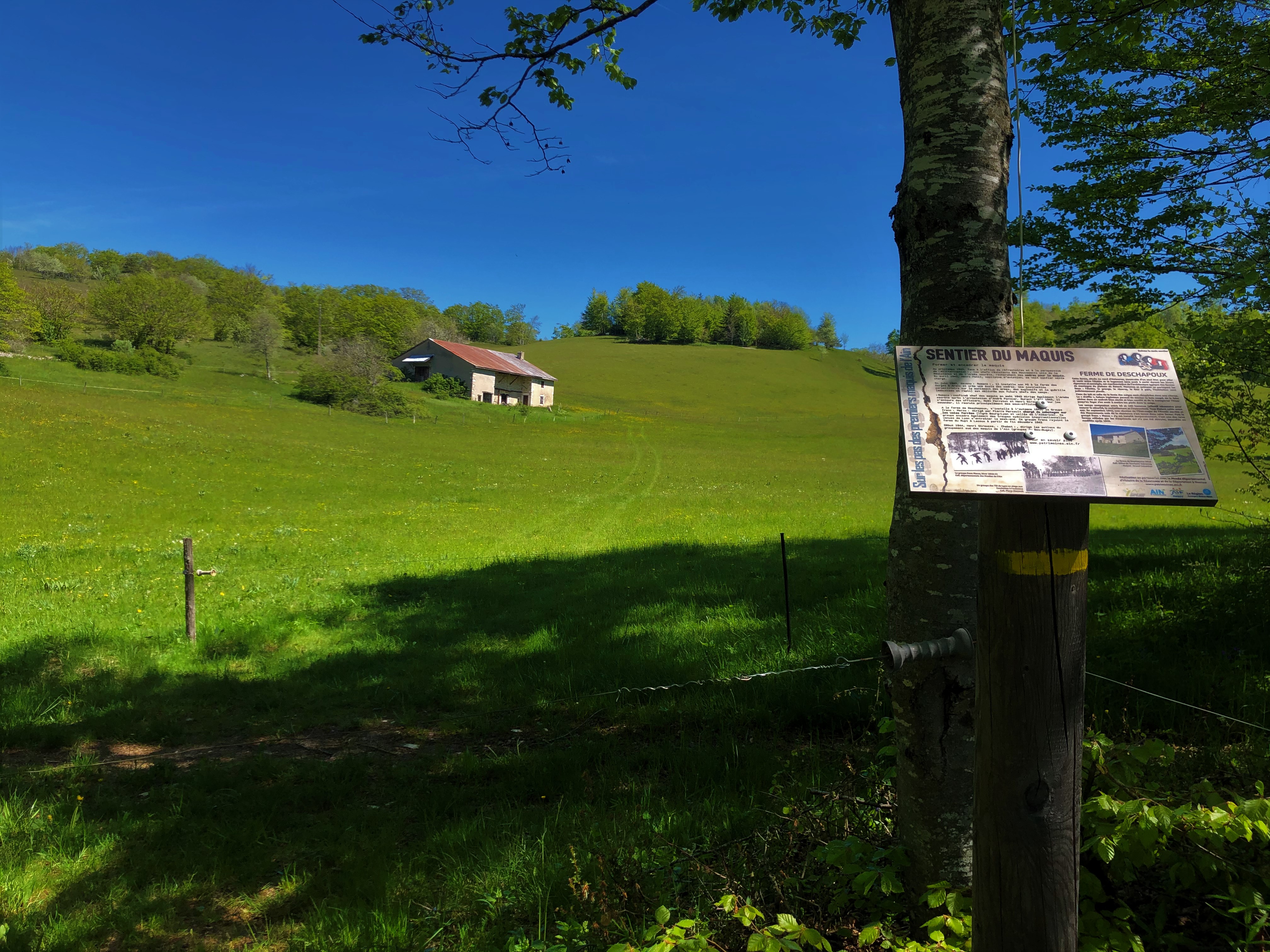
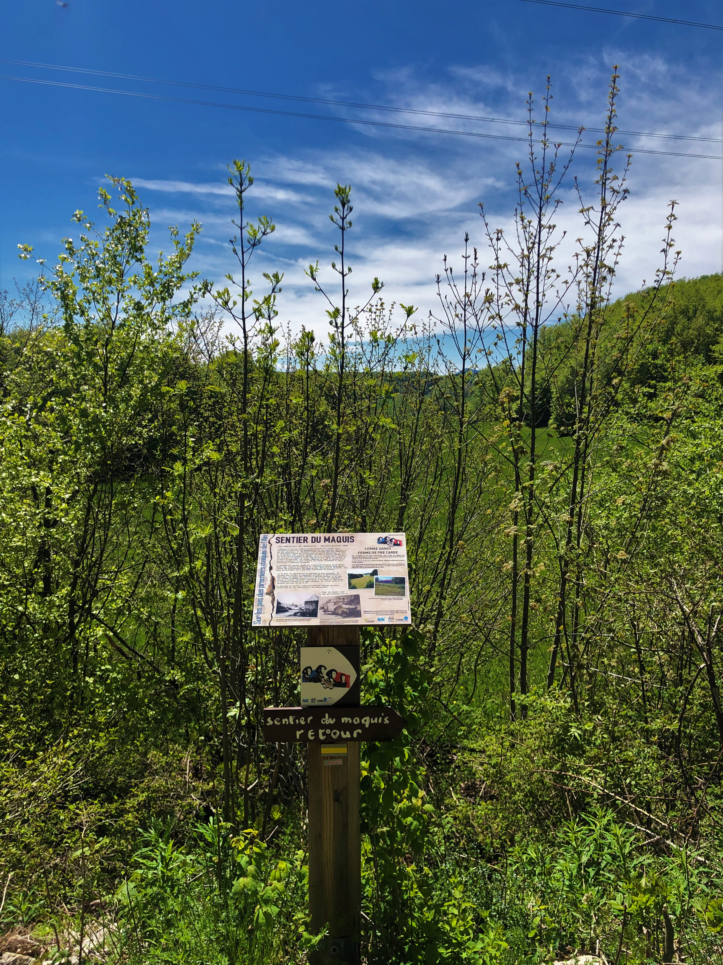
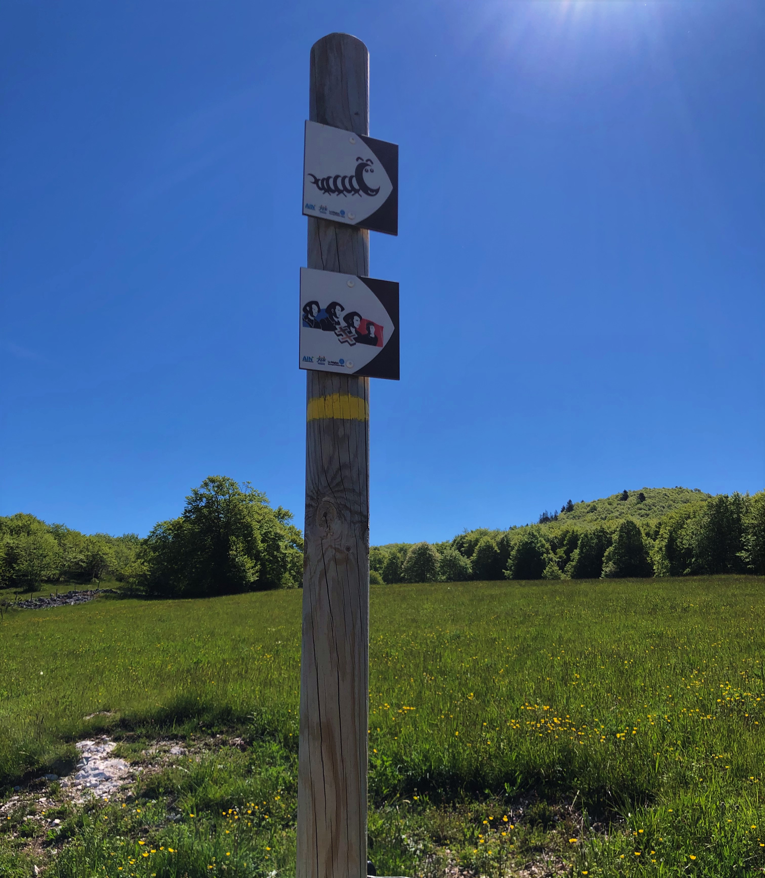
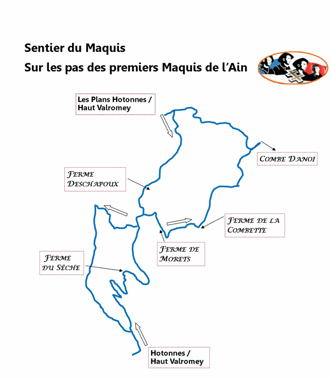
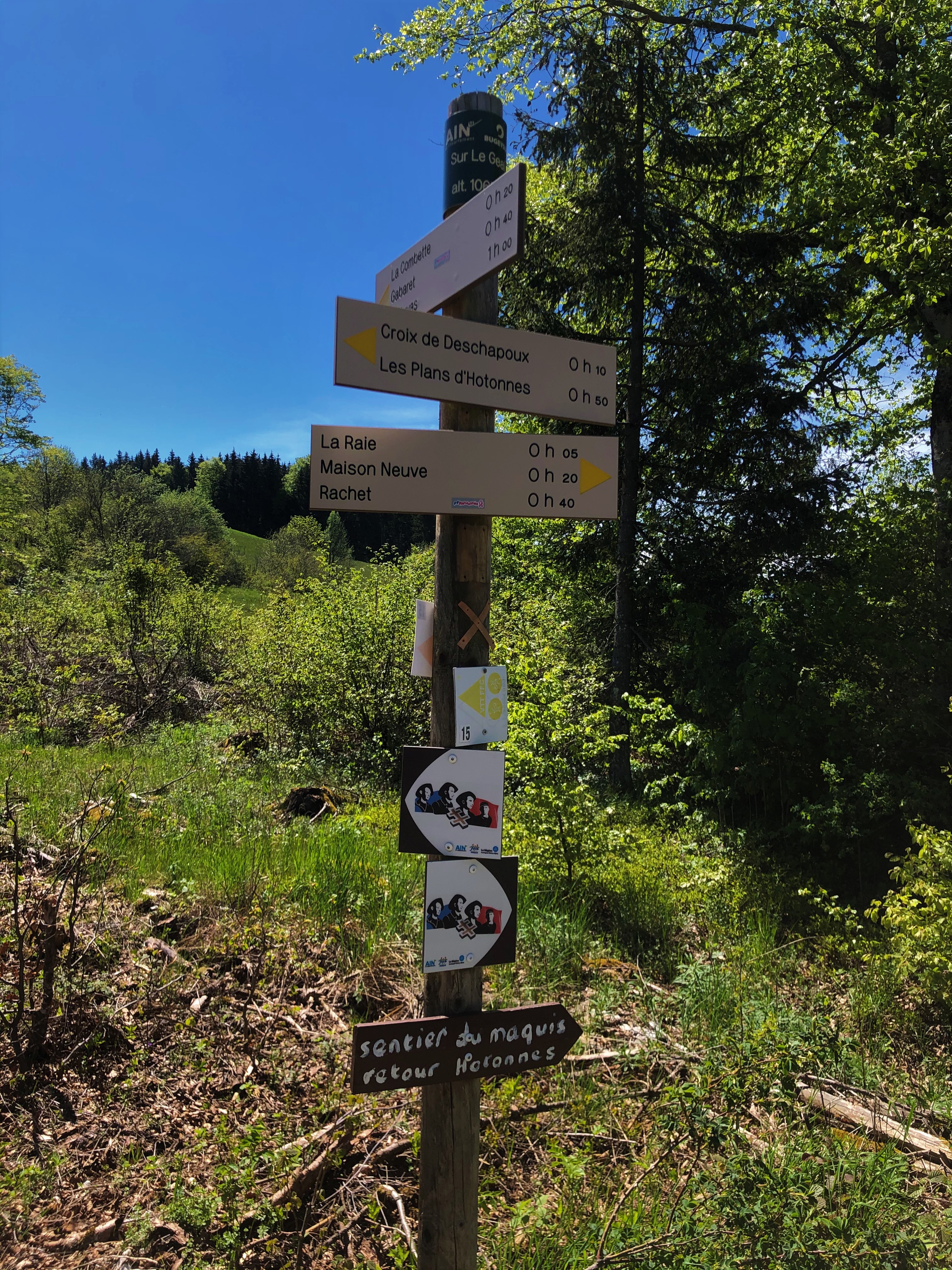
Several points of interest along the route: the Porte du Maquis, the Ferme de Deschapoux, the Ferme des Combettes, the Ferme de Morez, the Combe Danoi, the Ferme de Pré Carré, the Croix des Lagnieux and the Ferme du Sèche.
Information panels retracing the history of these points of interest can be found along the route.
This thematic trail was created in partnership with the Departmental Museum of the History of the Resistance and Deportation in Nantua.
This hike can be downloaded on the free app Ain Outdoor.
Prices
Free access.
Technical information
-
Distance 16 km
-
Highest point 1'200 m
-
Difficulty 4
-
Duration 5h00min
Location / Access
GPS coordinates :
45.997302, 5.692588
Altitude :
850 m
Contact
Hike: on the steps of the WW2 French resistance.
watch_later
All year round.
Subject to favorable weather.
textsms French
phone 04 79 81 29 06
phone 04 79 87 51 04
email contact@bugeysud-tourisme.fr
location_on
Boucle au départ dHotonnes (sur la place de la Mairie) et boucle au départ de la Porte du Maquis aux Plans d'Hotonnes
01260 Haut Valromey