Randonnée pédestre
Hiking in Bugey: La Ronde des Plans
Haut Valromey
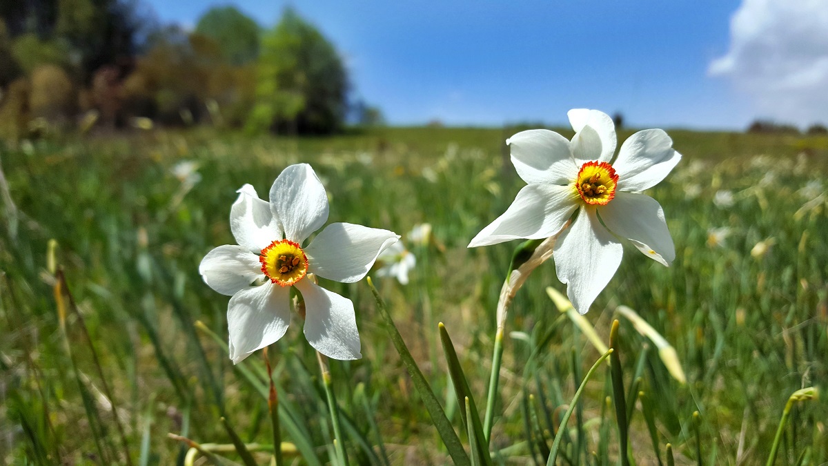
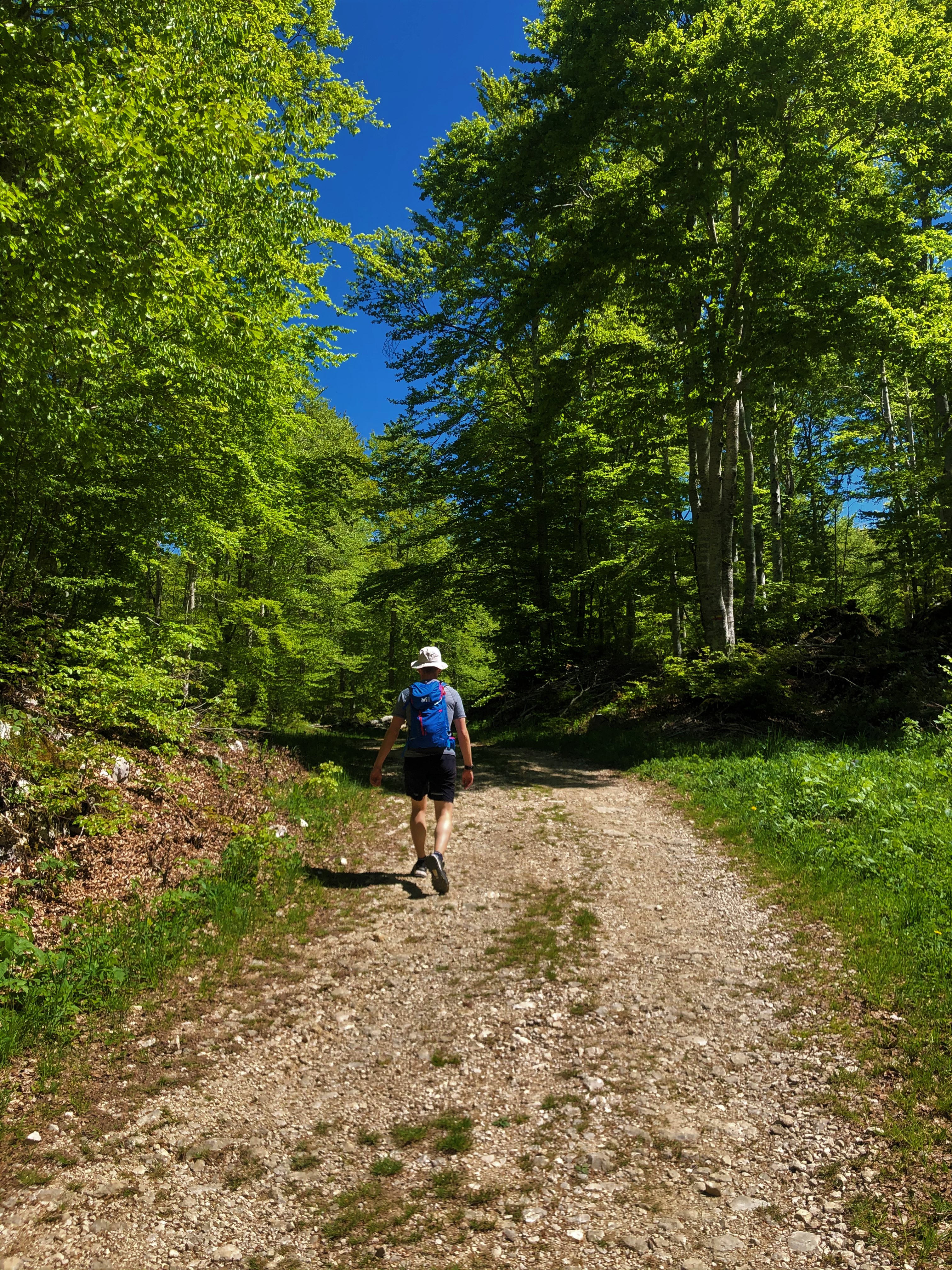
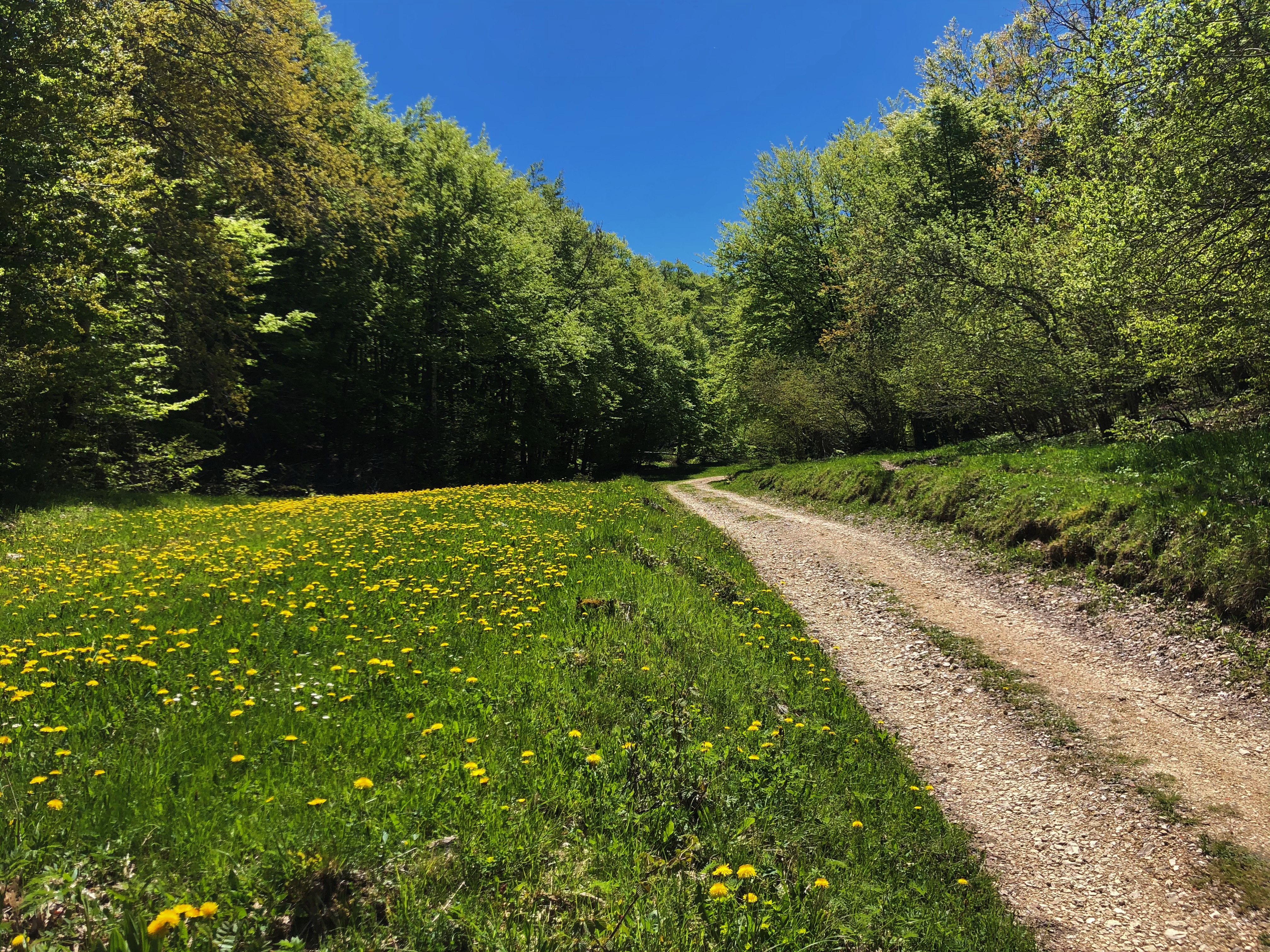
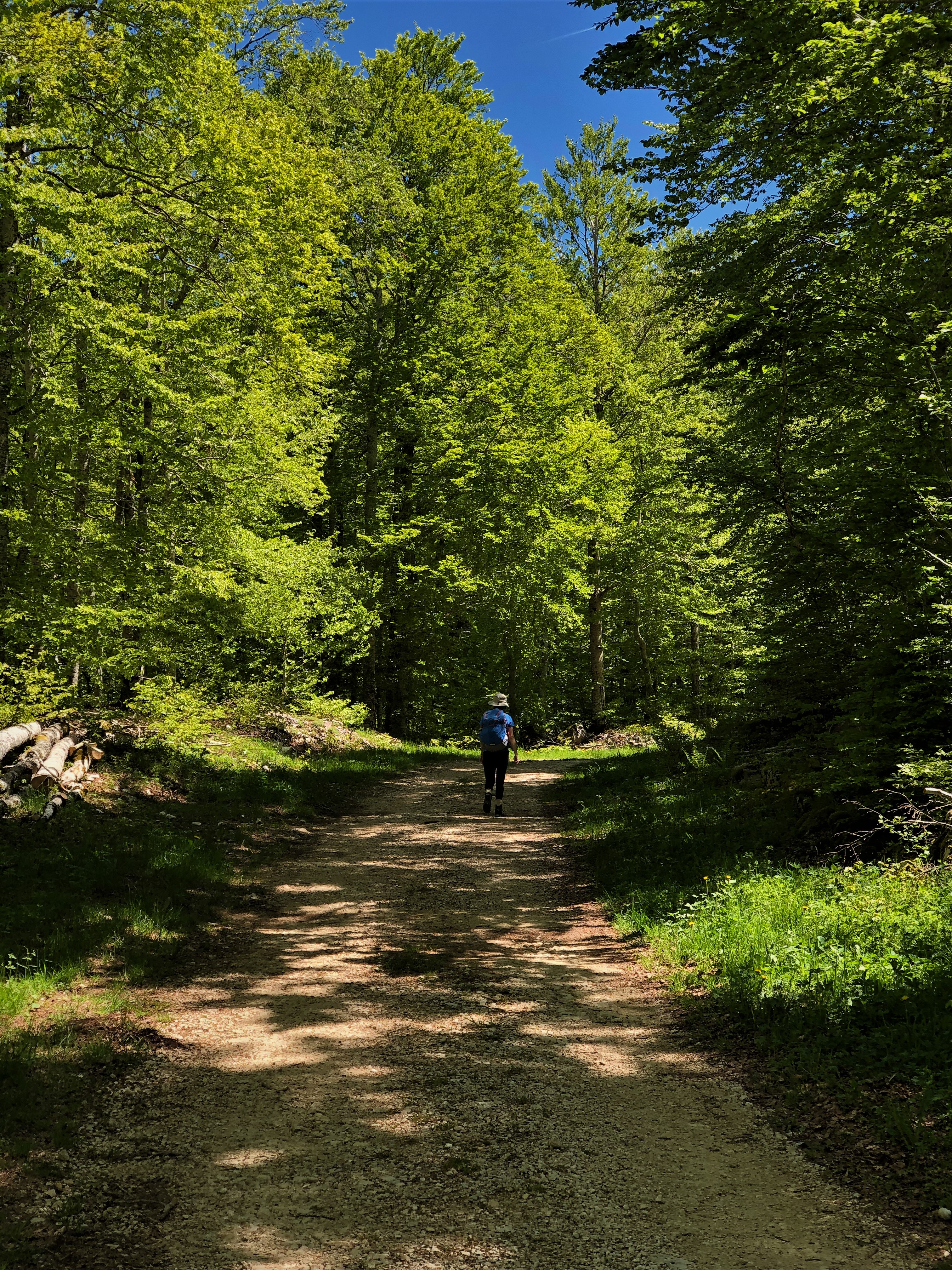
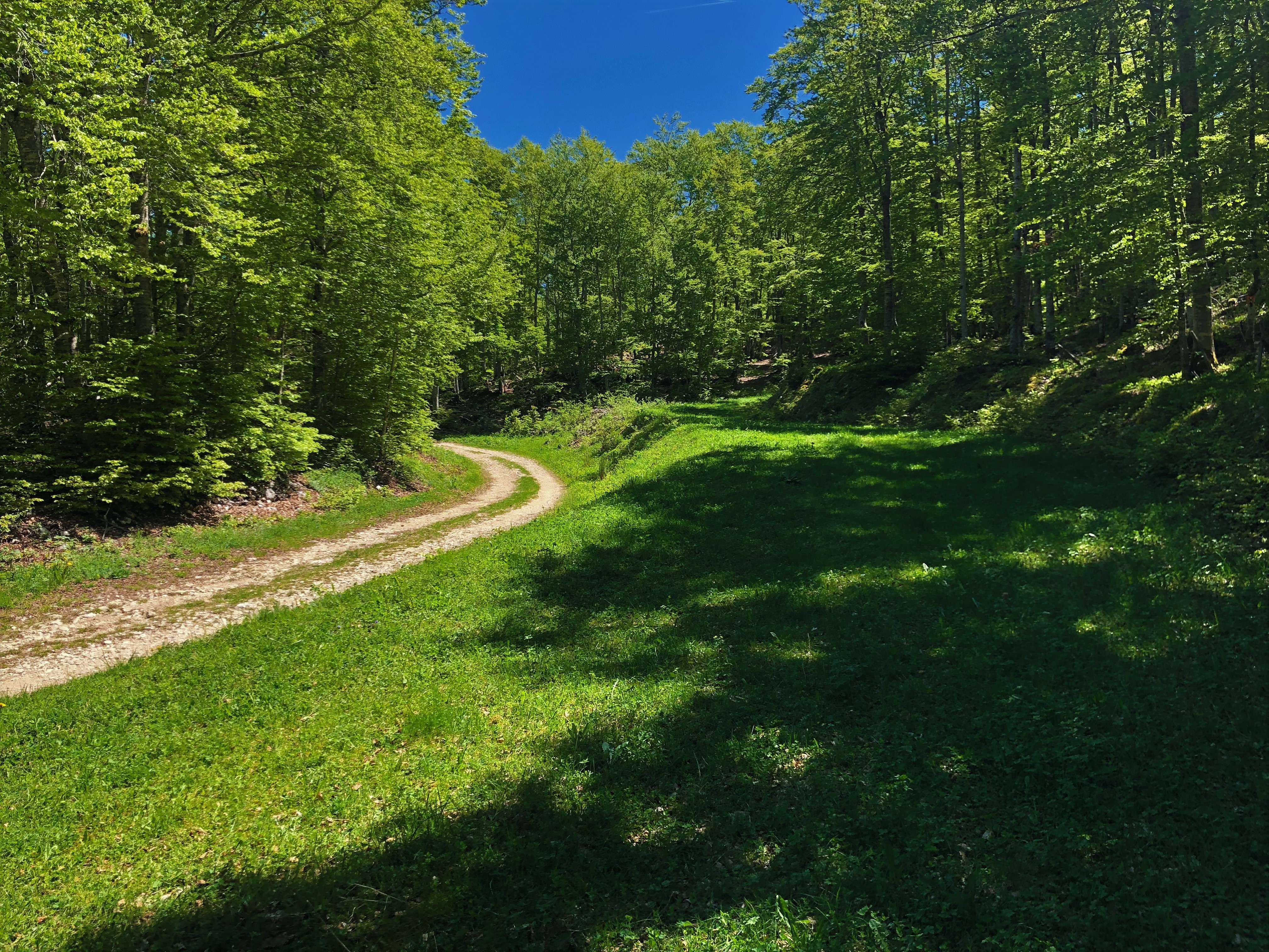
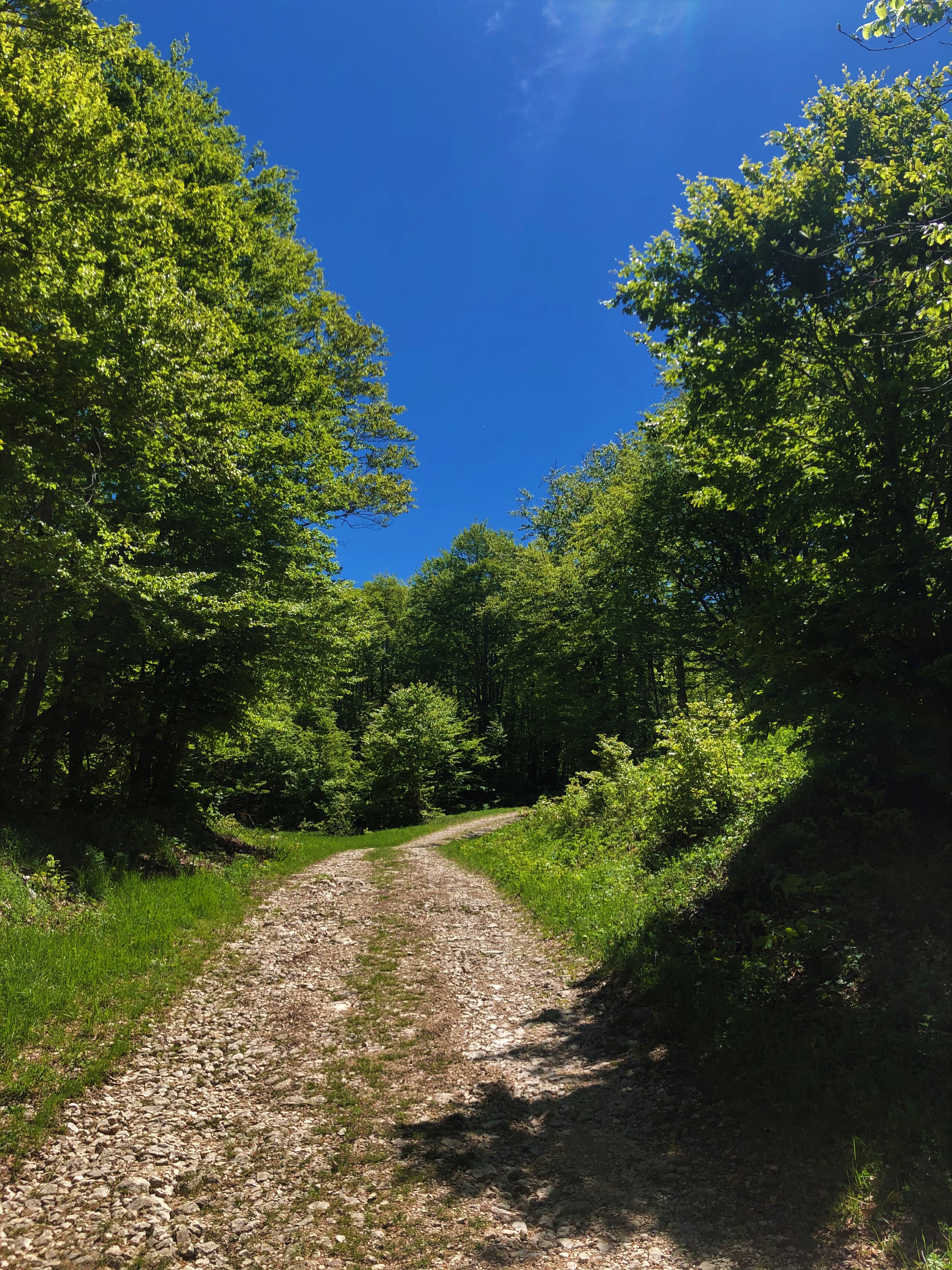
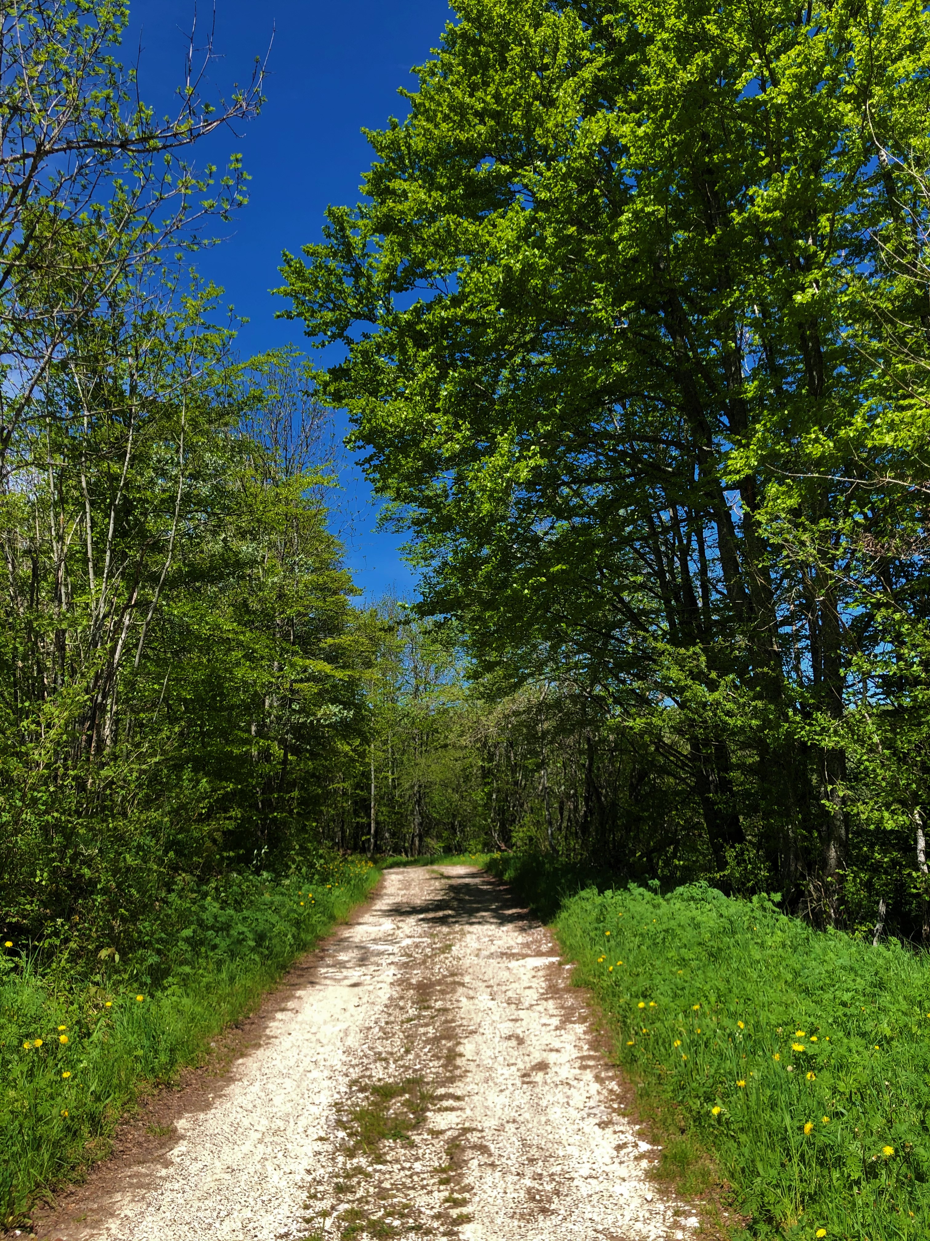
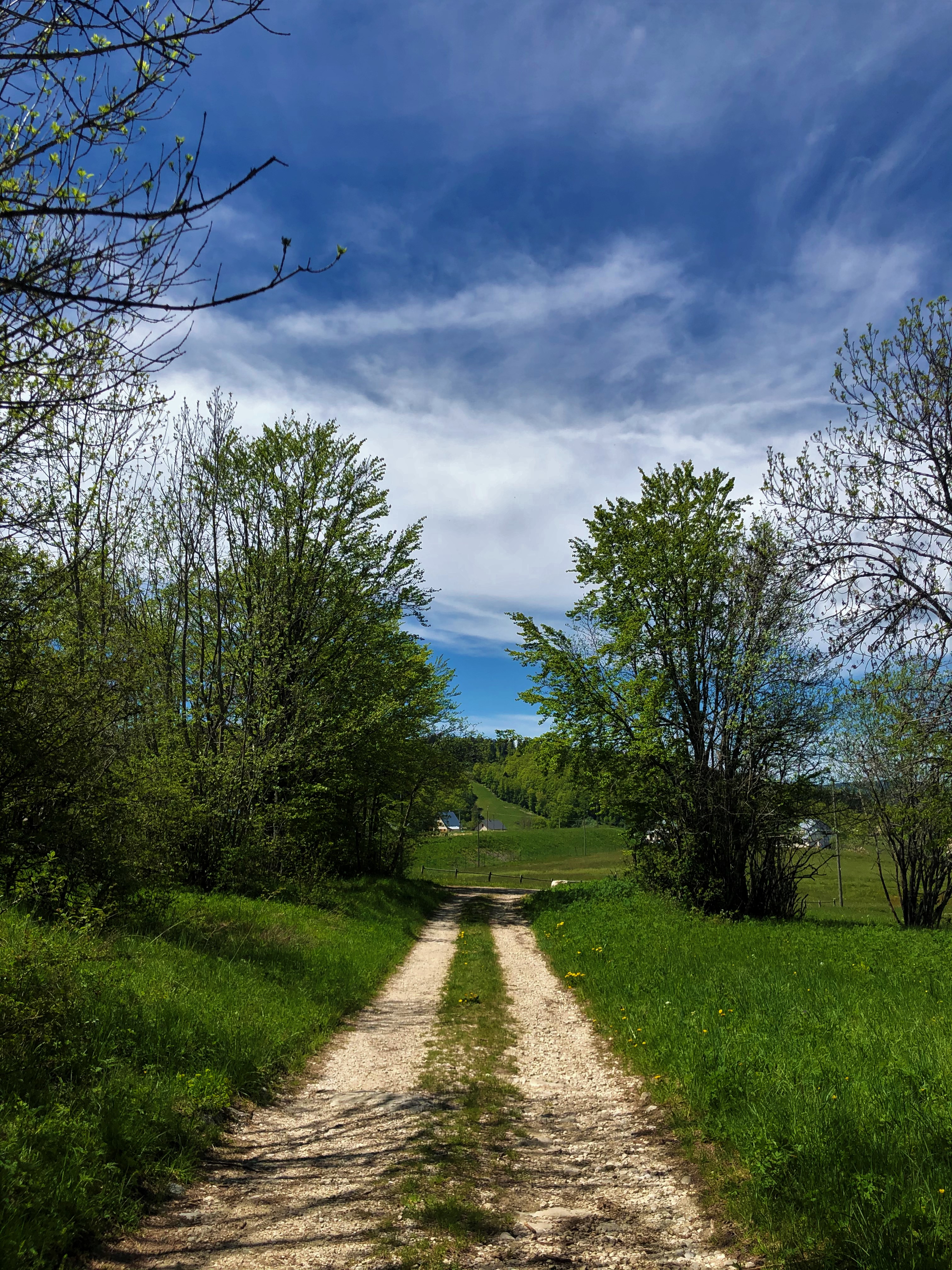
Between the beech forests and the valleys of the south of the Jura Massif, you will stroll along the paths of the set of Luc Jacquet's film "The Fox and the Child".
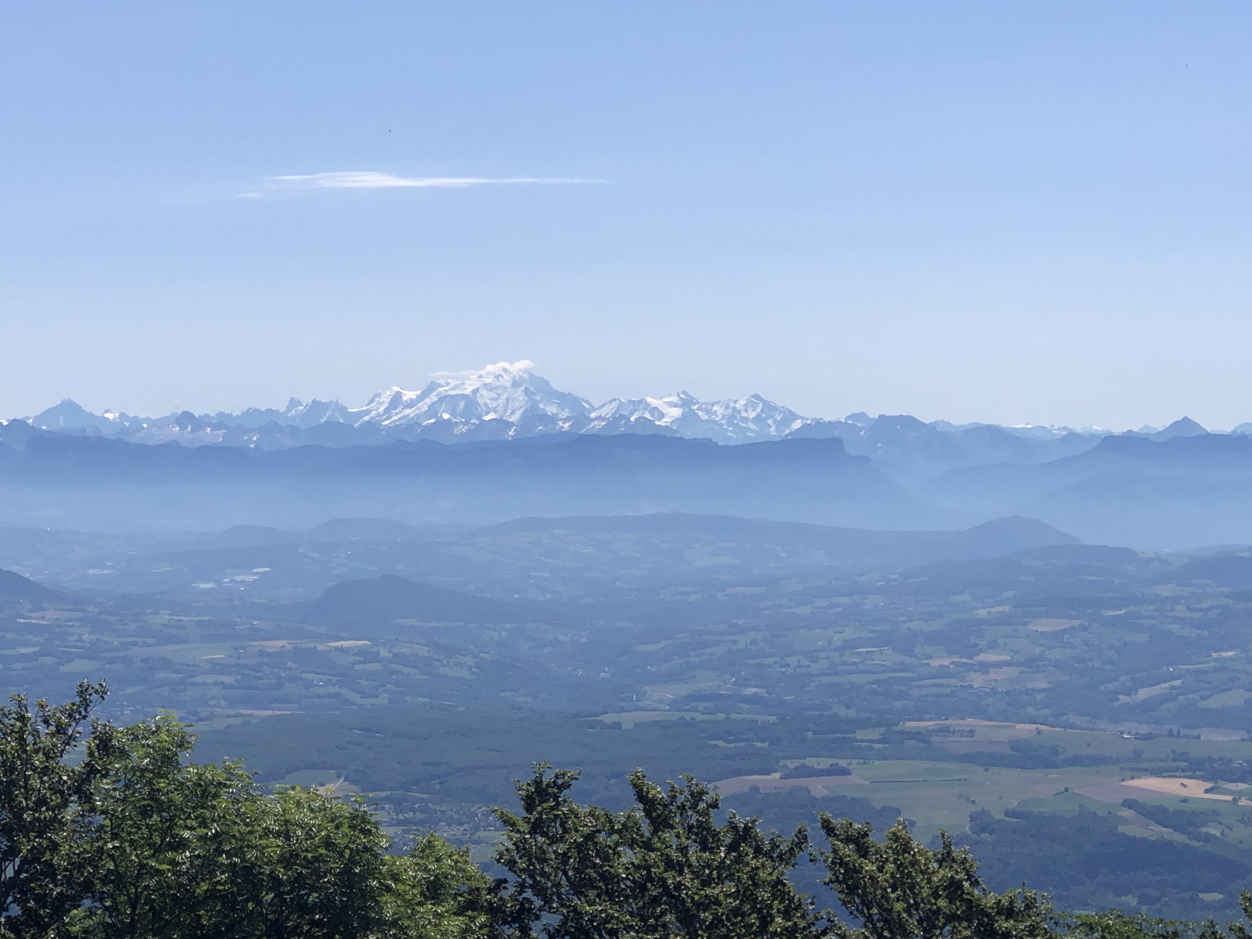
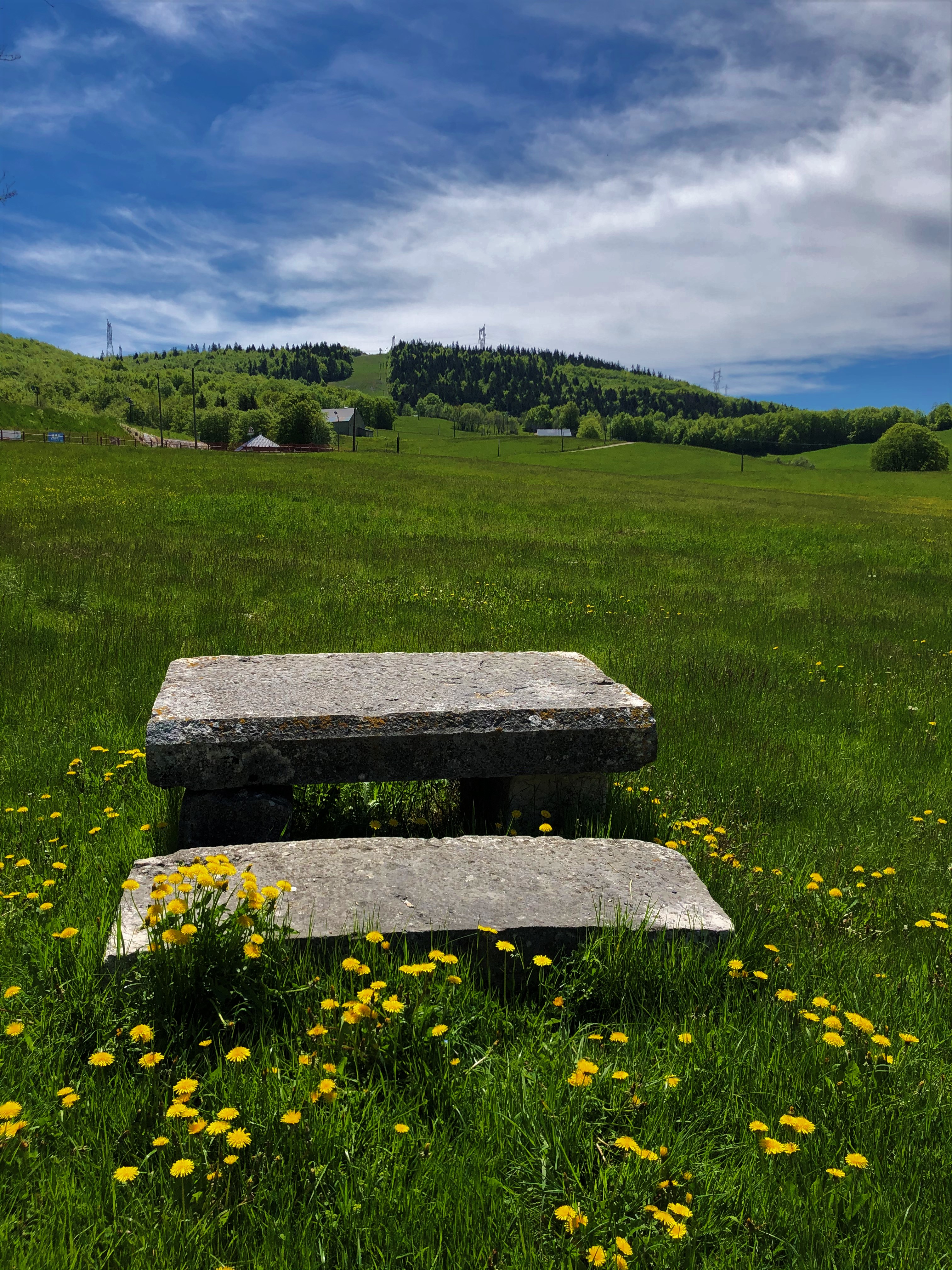
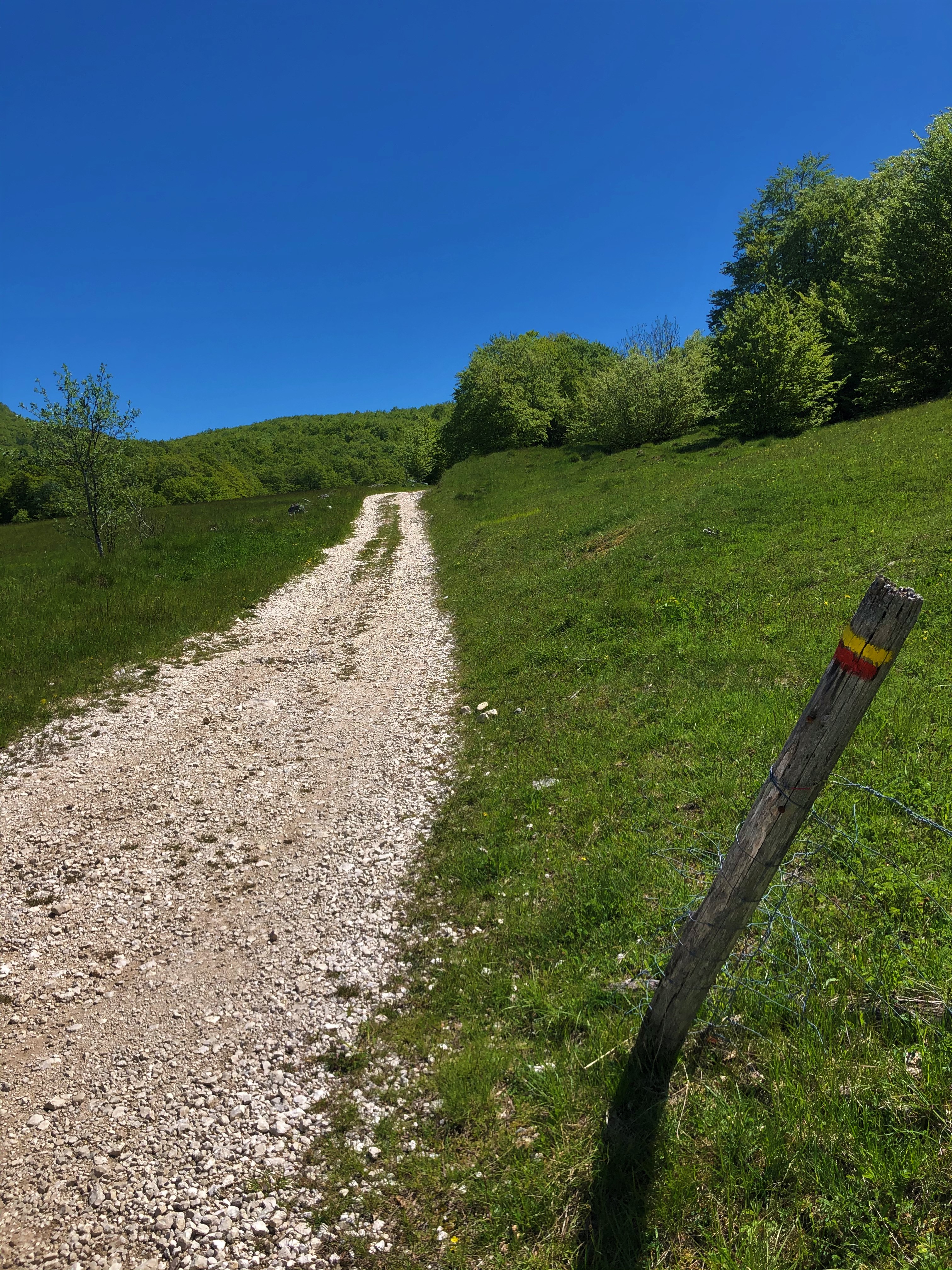
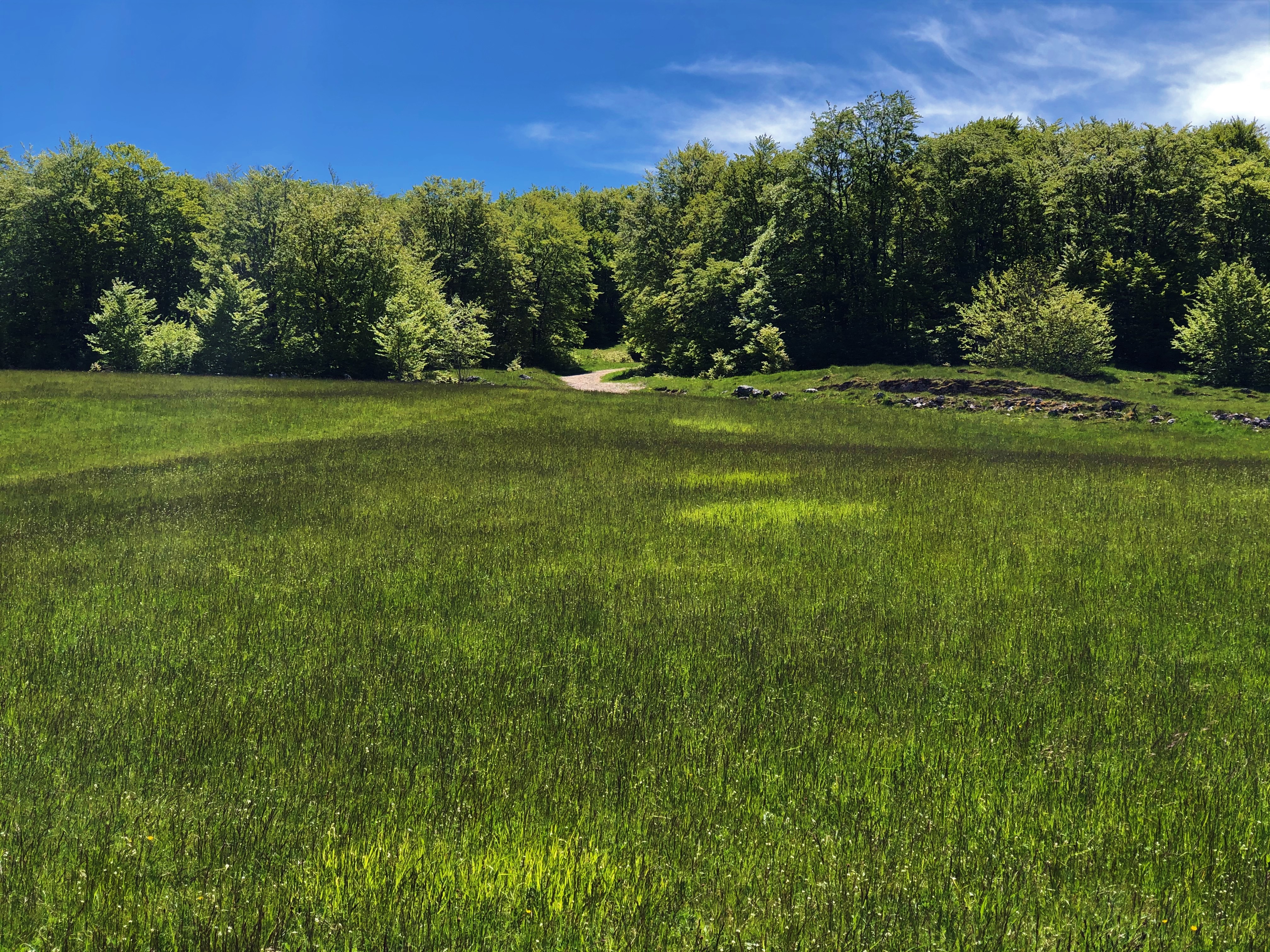
From the Terments cross to the end of the hike, you will also benefit from several viewpoints over the Plans d'Hotonnes, ski resort in the south of the Jura Massif, a paradise for cross-country skiers and snowshoe hikers. winter and mountain bikers, hikers, orienteers, biathletes and simply lovers of the wide open spaces of the Plateau de Retord the rest of the year.
You will cross several mountain pastures, we thank you for keeping your dogs on a leash at all times. Some herds may be accompanied by guard dogs, we thank you for not trying to pet them, not feeding them, not approaching them, not crossing the herd but rather calmly walking around it.
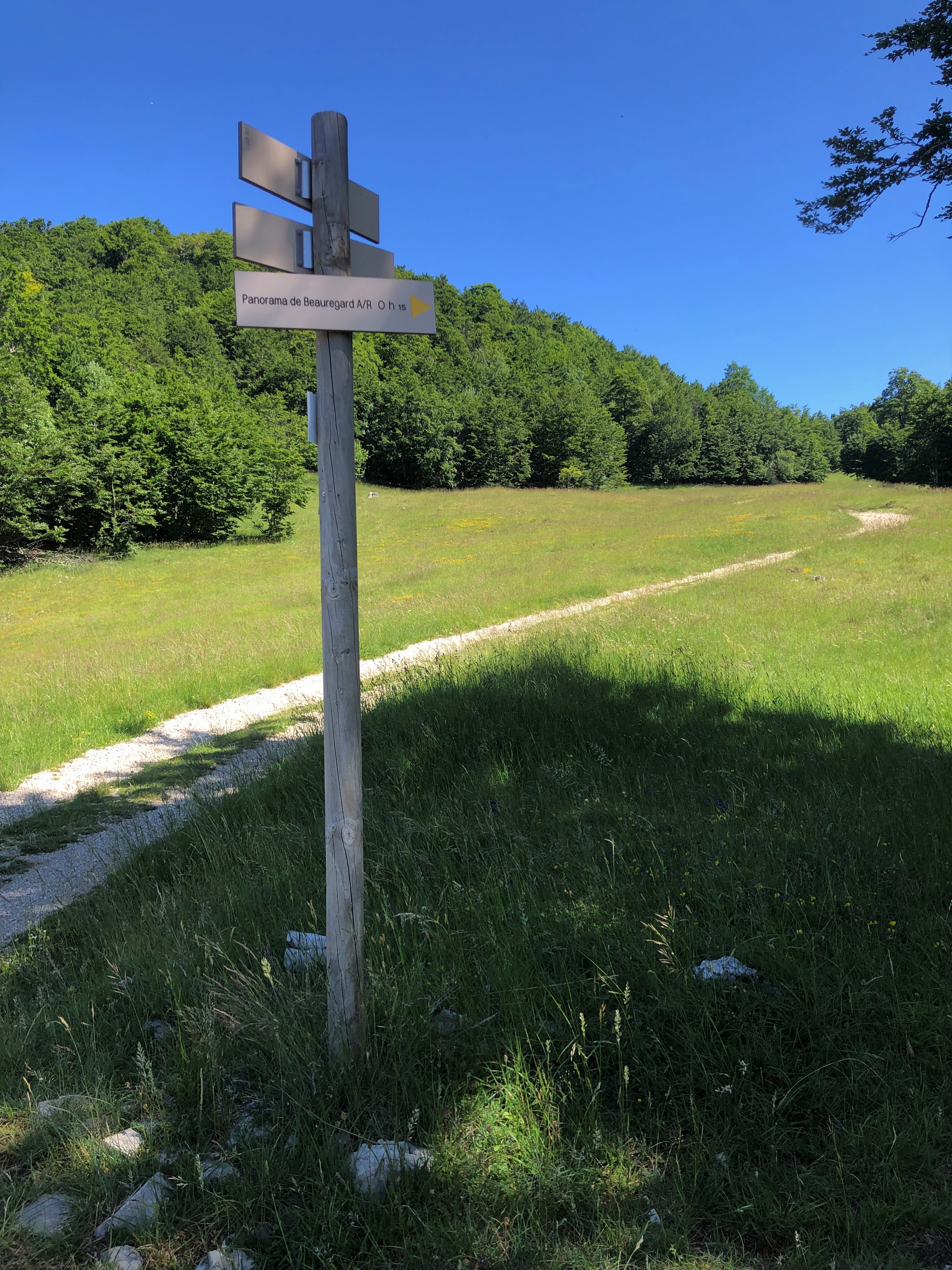
Follow the yellow markup and the sitckers "RP"
Also find this hike in consultation and download on the platform and the free application Ain Outdoor.
Technical information
-
Distance 10 km
-
Positive elevation 309 m
-
Negative elevation 309 m
-
Highest point 1'267 m
-
Difficulty 3
-
Duration 2h00min
Location / Access
GPS coordinates :
46.038982, 5.701658
Altitude :
1035 m
Contact
Hiking in Bugey: La Ronde des Plans
phone 04 79 81 29 06
email contact@bugeysud-tourisme.fr
location_on
Maison des Plans
01260 Haut Valromey