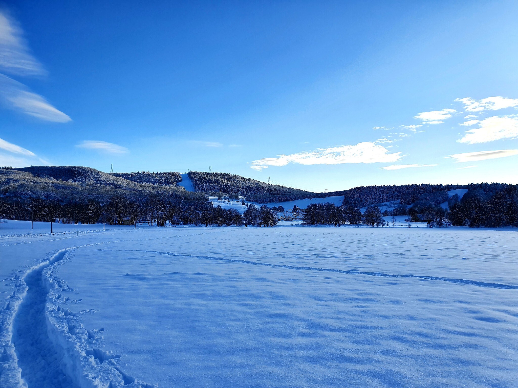
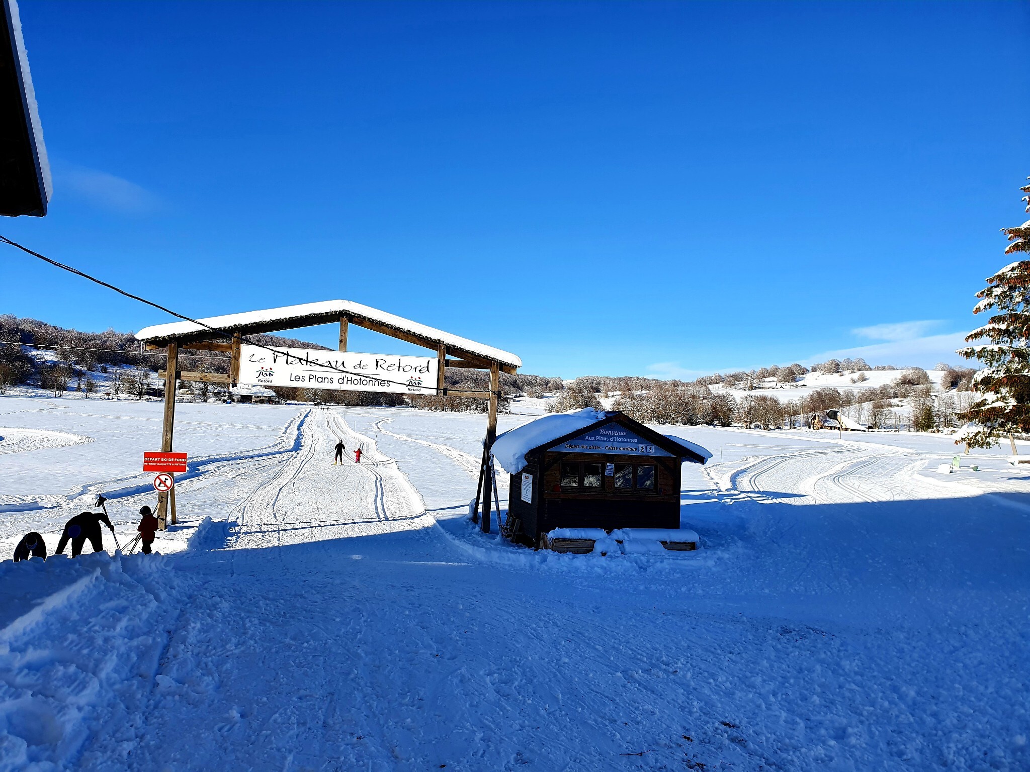
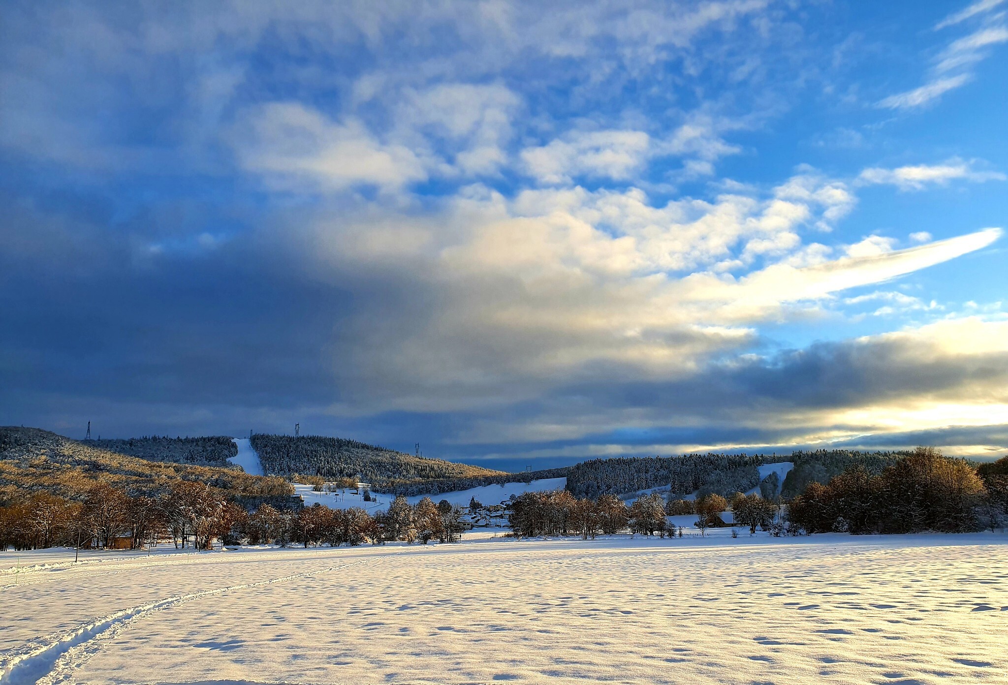
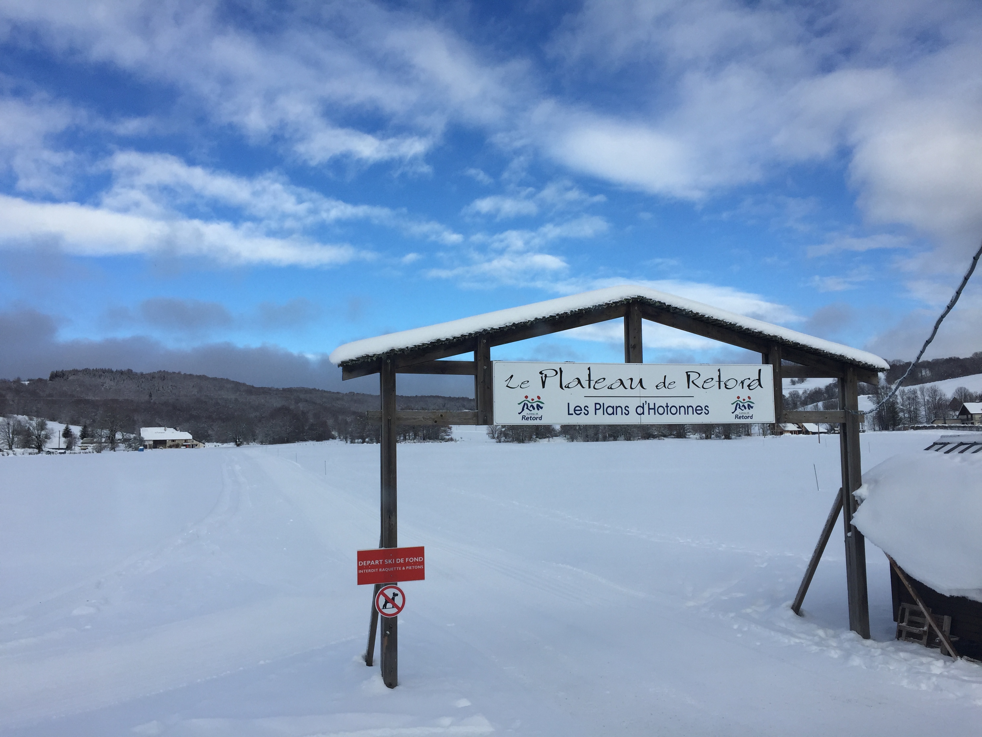
Randonnée à raquettes
Snowshoeing trail on Plateau de Retord R5
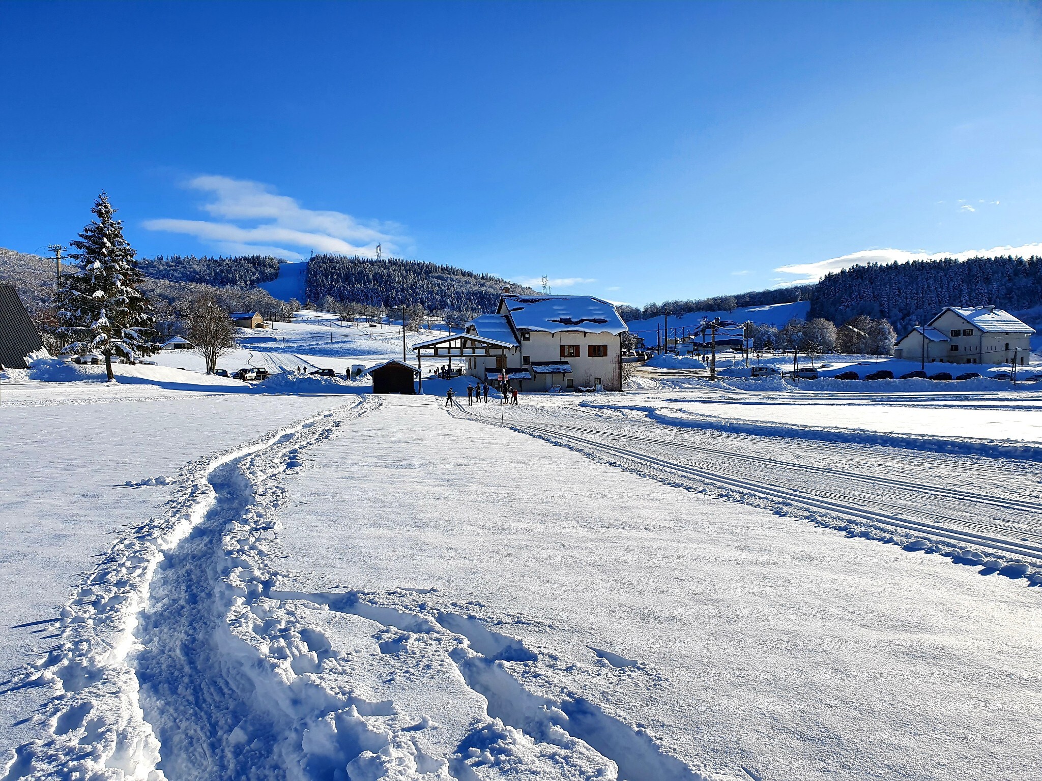
Haut Valromey
Technical information
-
Distance 11.5 km
-
Positive elevation 381 m
-
Difficulty Very difficult
-
Duration 3h25min
Contact
Snowshoeing trail on Plateau de Retord R5
textsms French
phone 04 79 87 51 04
phone 04 74 75 14 76
email syndicatmixteretord@wanadoo.fr
location_on
Les Plans d'Hotonnes
01260 Haut Valromey
Social media
Location / Access
GPS coordinates :
46.039234, 5.701911
Altitude :
1000 m
Related articles