Randonnée pédestre
Orienteering courses and Nature & Heritage Quizz (adult version).
Haut Valromey
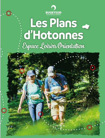
A fun circuit for everyone, the Plans d'Hotonnes heritage orienteering trail is an easy-to-navigate treasure hunt on your own using a map.
The map is accompanied by a fun quiz, a question about the Plans d'Hotonnes resort and the Plateau de Retord is asked on each control point.
There are two maps of different levels. The course is the same for adults and children but the questions are different.
The route is materialized by 11 control points placed on remarkable elements of the terrain and referenced on the map as compulsory passage points. You will need to punch the card with the clips attached to the various terminals to validate the 11 points.
(Only available in French).
Technical information
-
Distance 4.5 km
-
Positive elevation 100 m
-
Duration 1h30min
Contact

Orienteering courses and Nature & Heritage Quizz (adult version).
watch_later
All year round.
Closed on snowy conditions.
textsms French
phone 04 79 81 29 06
phone 04 79 87 51 04
email contact@bugeysud-tourisme.fr
location_on
Les Plans d'Hotonnes
01260 Haut Valromey
Social media
Location / Access
GPS coordinates :
46.038944, 5.701426

