Loisir
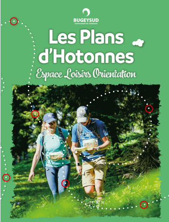
Orienteering course in Plans d'Hotonnes
Haut Valromey
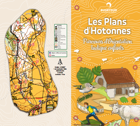
> 1 green course with 13 markers
> 1 blue course with 11 markers
Contact
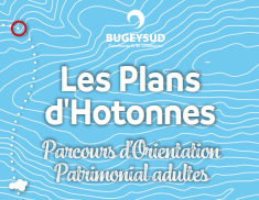
Orienteering course in Plans d'Hotonnes
watch_later
Open all year round.
Closed on snowy conditions.
phone 04 79 81 29 06
phone 04 79 87 51 04
email syndicatmixteretord@wanadoo.fr
location_on 01260 Haut Valromey
Social media
Location / Access
GPS coordinates :
46.039154, 5.708171
Altitude :
1050 m
Related articles
Randonnée pédestre
Haut Valromey
1h30min
4.5 km
More info
Randonnée pédestre
Haut Valromey
1h30min
4.5 km
More info
Randonnée pédestre
Moderate
Haut Valromey
2h00min
10 km
More info